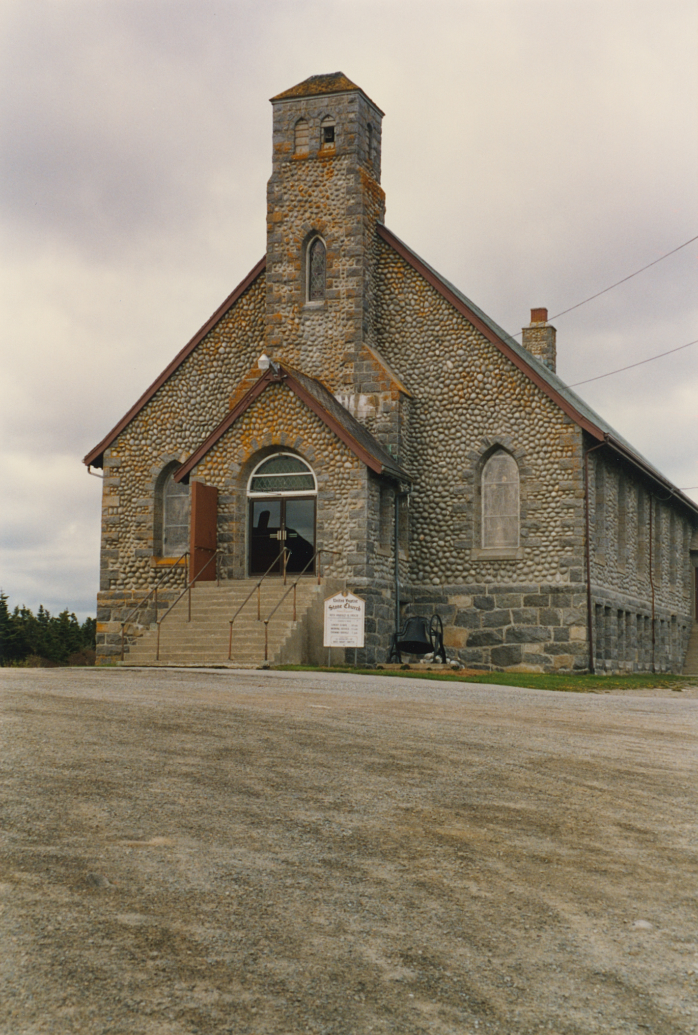
Building date: 1921-31
Original use:
Corner structures:
Mortar application and content:
Types and uses of stones:
Types and choice of windows:
Structures with similar masonry details:
Masons who worked on building:
Unique features:
Map views courtesy Google Maps. Address is Google Earth confirmed; 43°26'48.39"N 65°37'56.38"W.
Barrington Municipal District and Shelburne County Maps.
Editor's Note: This church is not a traditional circa 1820-1865 cobblestone structure.
Clark's Harbour Wikipedia article, Stone Church section.
 Bar-1 United Baptist Stone Church.jpg ¹ |
¹ Photography courtesy Martin and Sheila Wolfish.
